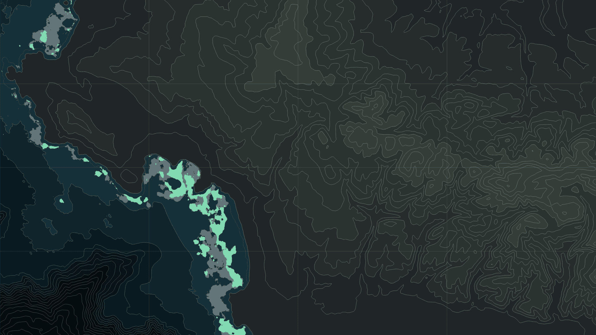
Monterey’s kelp canopy through eight Septembers
Track contraction and recovery along the same coast from September 2017 to September 2024.

Stories from the boundary between art and data.
Track contraction and recovery along the same coast from September 2017 to September 2024.
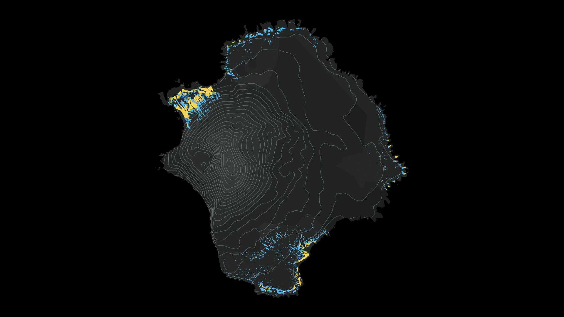
Five survey periods connect a volcanic island’s nesting slopes to the food available in the Southern Ocean.
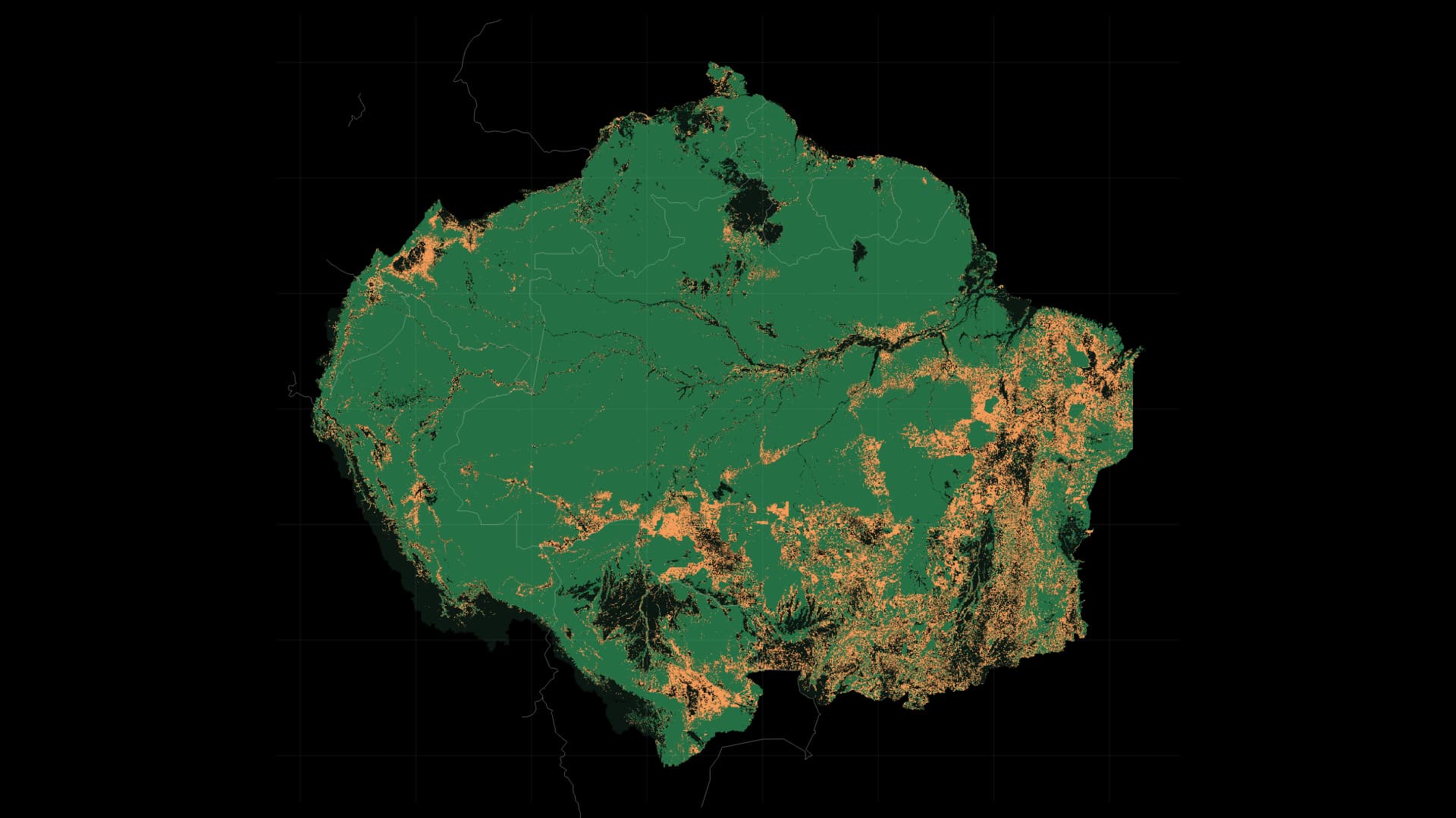
From 1993 to 2023, follow forests across national borders, from Brazil to Peru, Colombia and the Guianas. Overlay annual losses on comparable forest cover across eight countries and French Guiana.
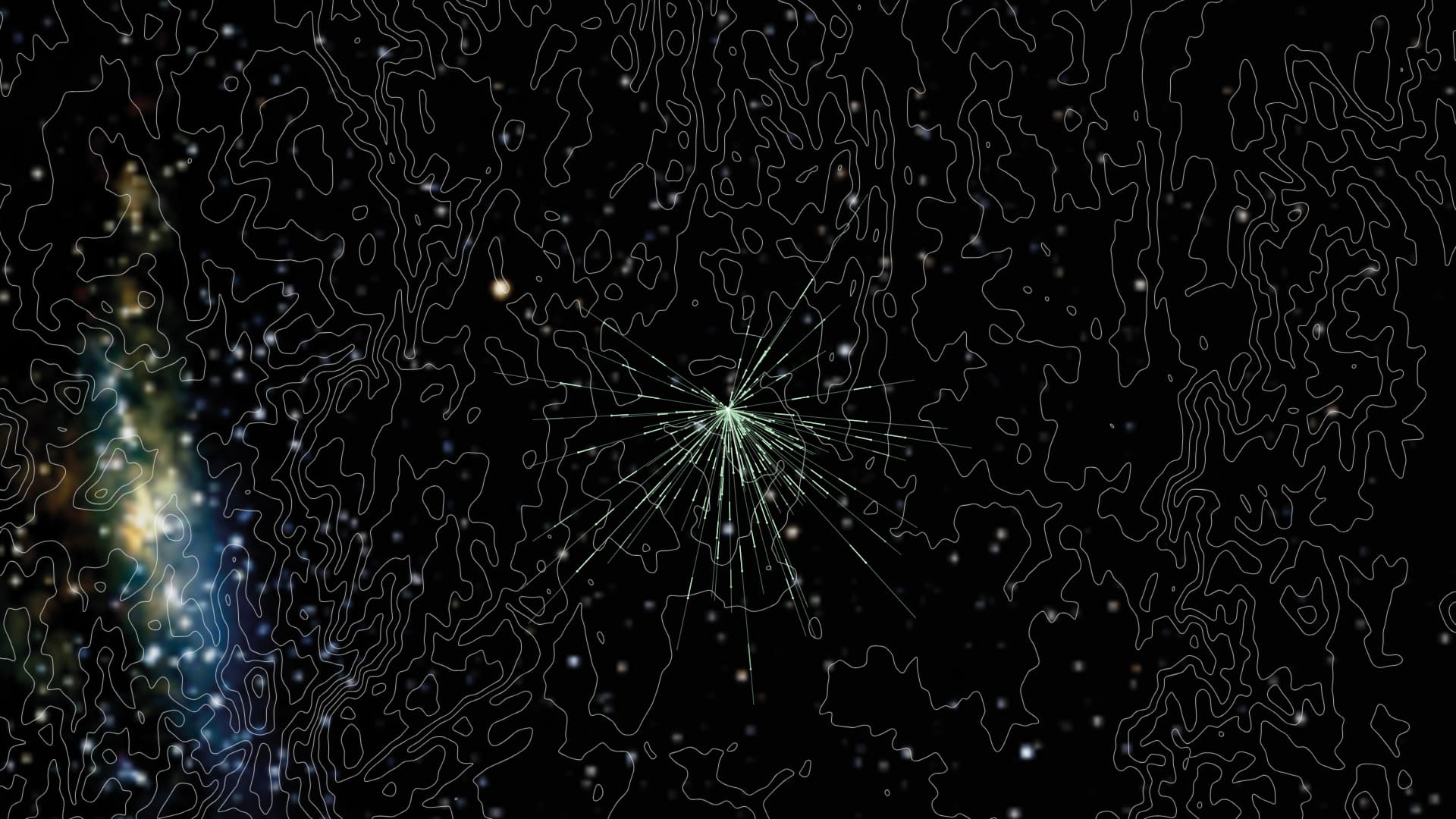
South in spring, north in autumn. An experiment reveals how Bogong moths use the night sky to orient their journeys.
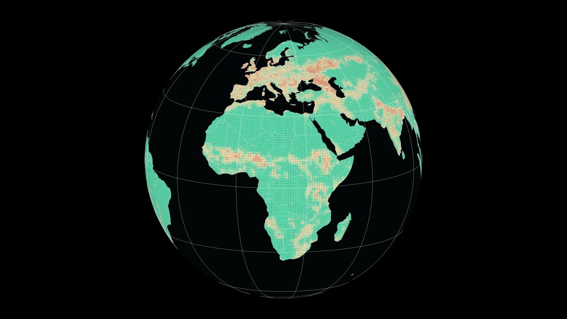
Compare 1900 and 2015 through a global model of terrestrial biodiversity intactness.
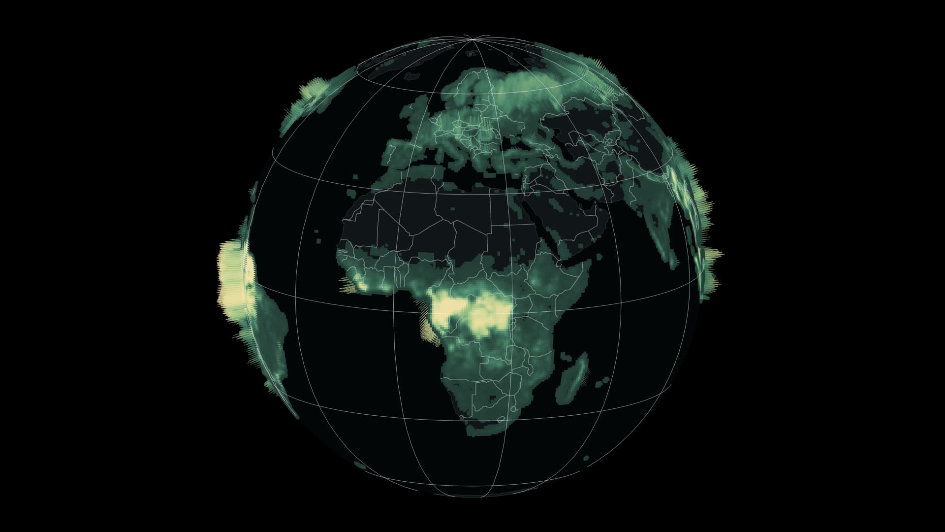
A global view of above-ground woody biomass in 2024.
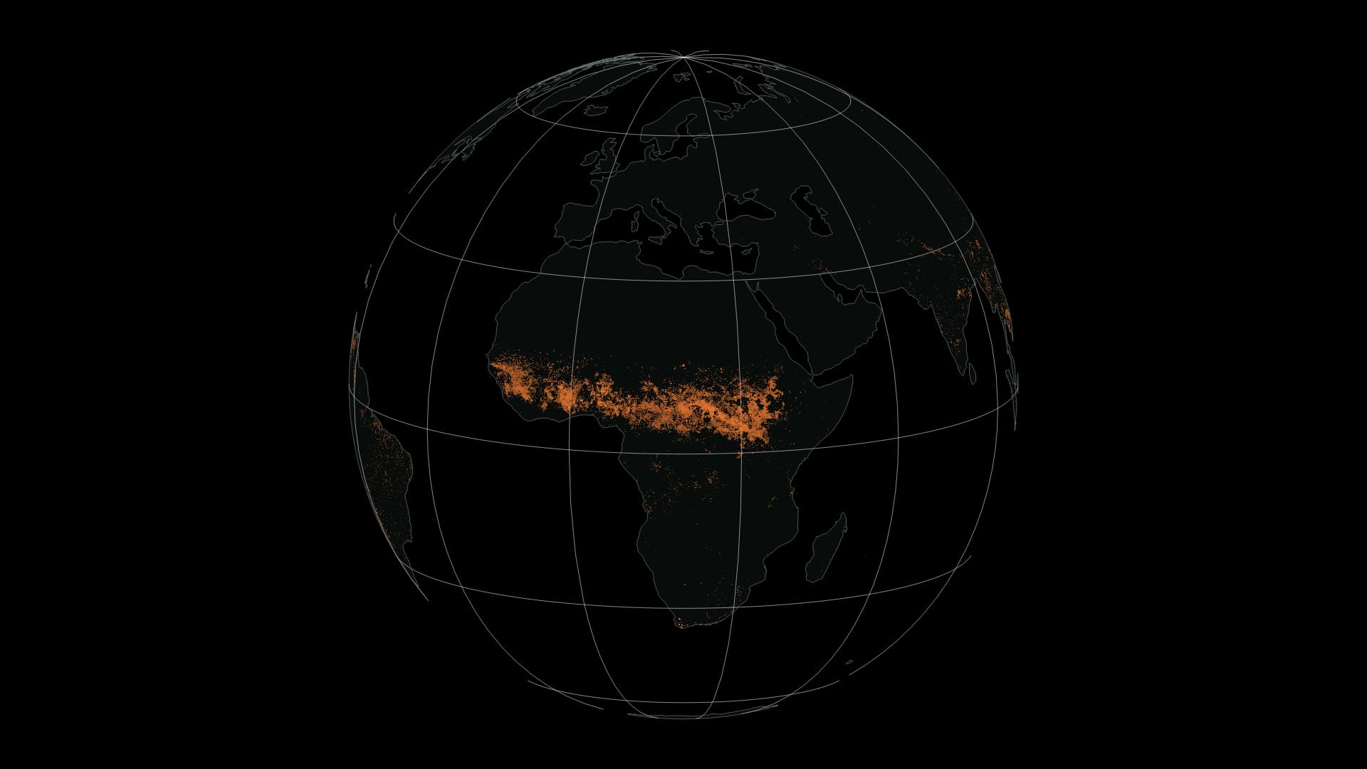
Monthly distributions of satellite-estimated fire perimeters across the world in 2026.
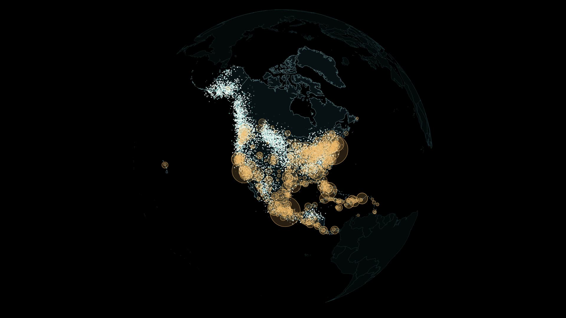
Across North America, from spring to winter. Quiet particles reveal changing seasonal distributions from weekly models of six species.
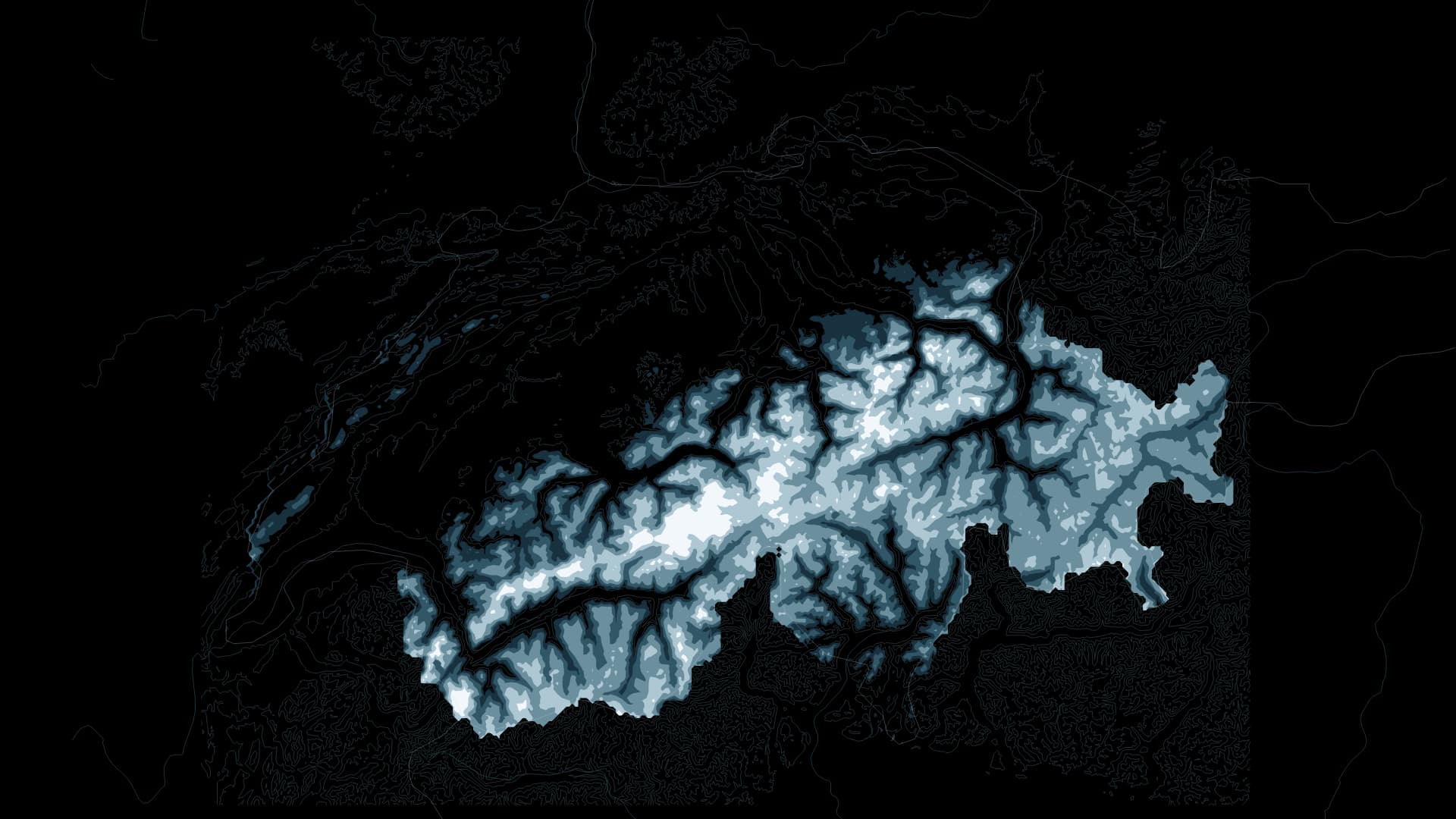
Across 40 years, 1982–2021, visit the day with the smallest estimated snow area in each March and follow the water held in snow across the Swiss Alps and their surroundings.
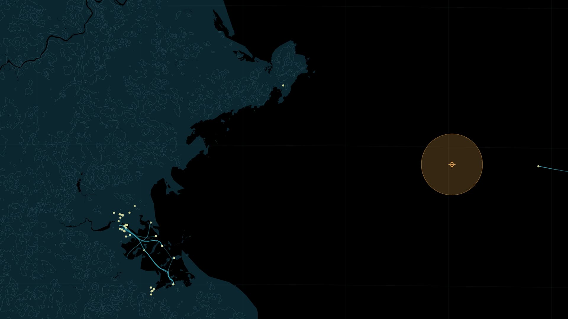
Vessel positions above the surface and a hydrophone below it share one clock: 23 November 2020, off Boston.
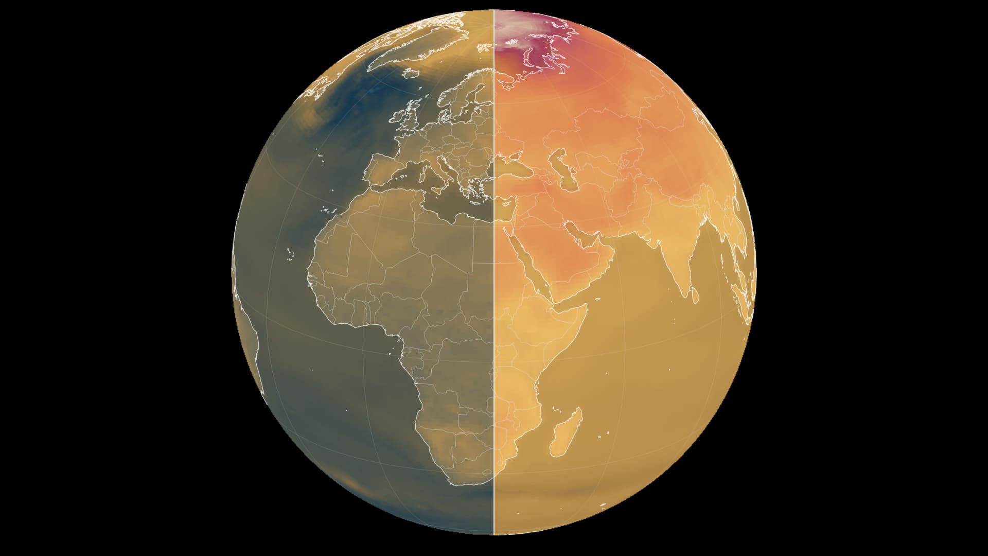
Two emissions pathways, one shared colour scale. Compare warming relative to 1995–2014.
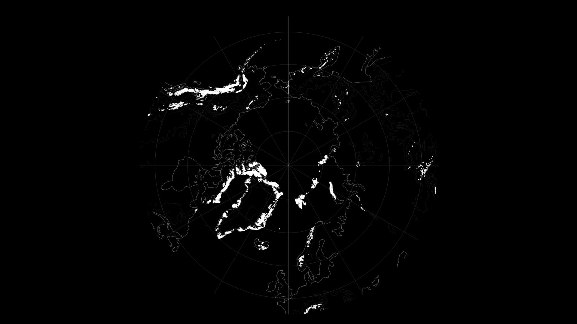
Open the Earth around the North Pole and Alaska, Canada’s islands, Greenland’s margins and Svalbard surround one ocean. Their glaciers have accumulated winter snow and released water through the warmer season. Looking at their mass changes asks a different question from simply tracing their white outlines: how much ice remains stored there?
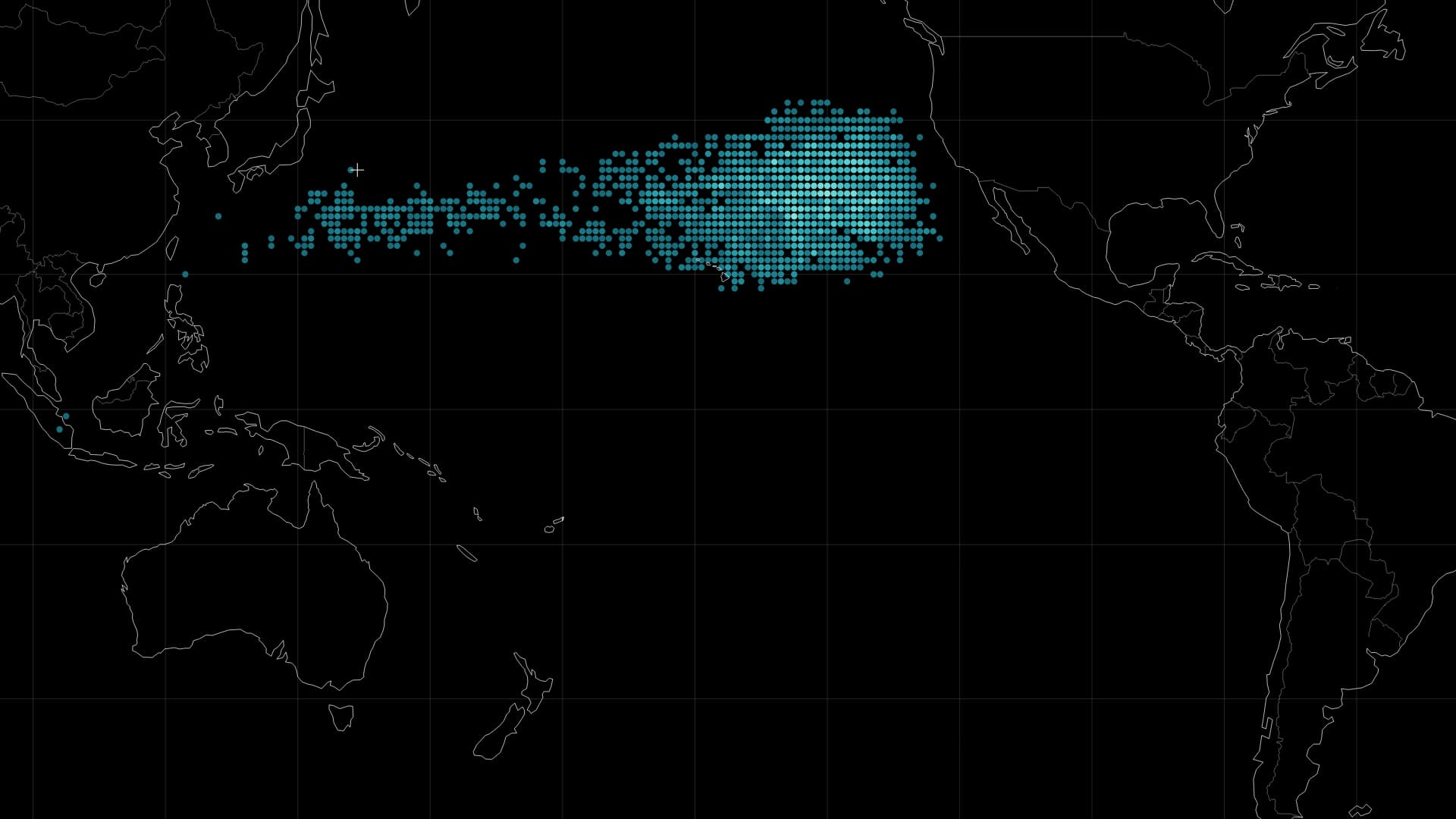
Plastic has a journey after we lose sight of it at the shore. A fragment moving with the waves knows neither city boundaries nor national borders. Following a release east of Japan into the Pacific brings a distant environmental problem back to the things people use and discard on land.
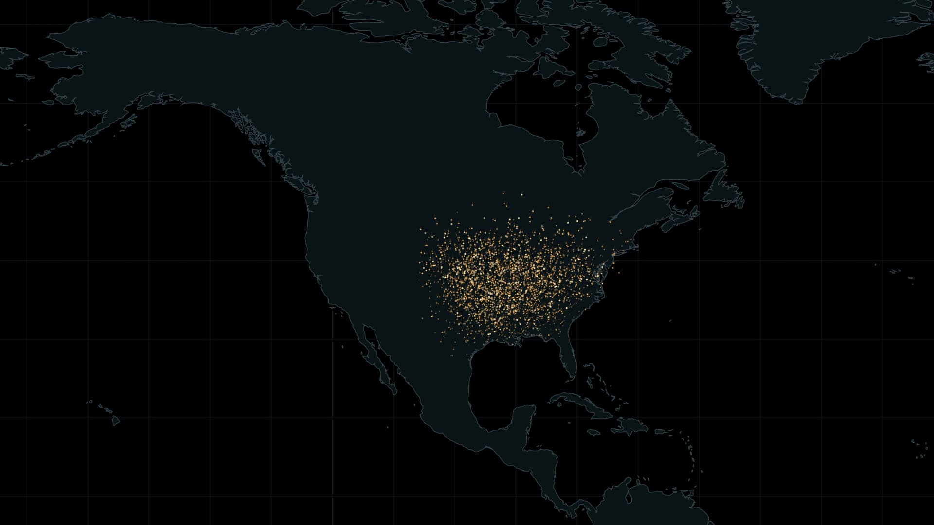
Eastern monarchs connect a vast summer range with mountain forests in central Mexico. A seasonal map brings the scale of that journey into view.
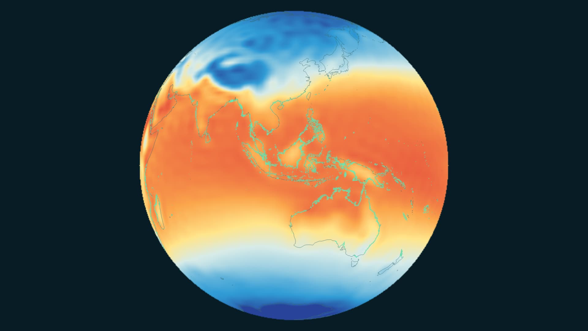
A global view of mangroves and air temperature, sharing a timeline from 1985 to 2025.
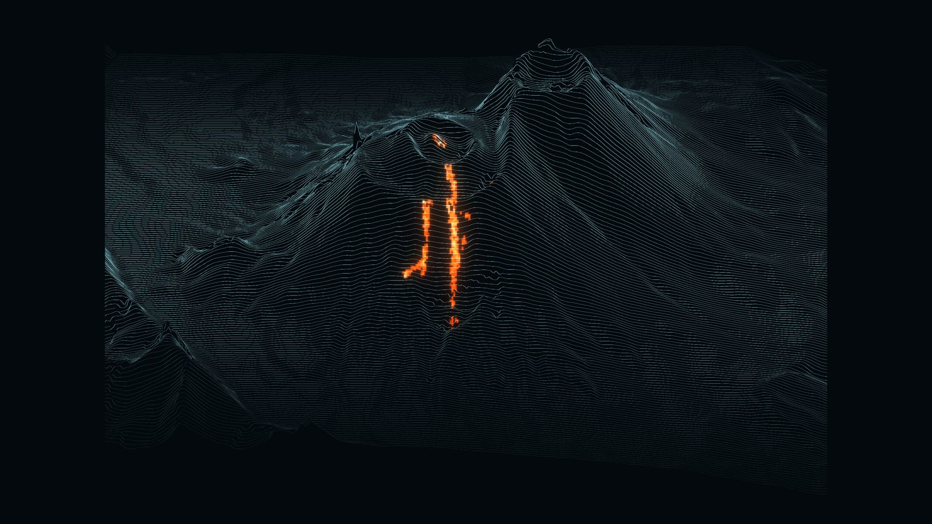
A giant earthquake struck offshore Kamchatka on 30 July 2025. Days later, Krasheninnikov erupted. Ground deformation detected between the two events offers a clue to their possible connection.
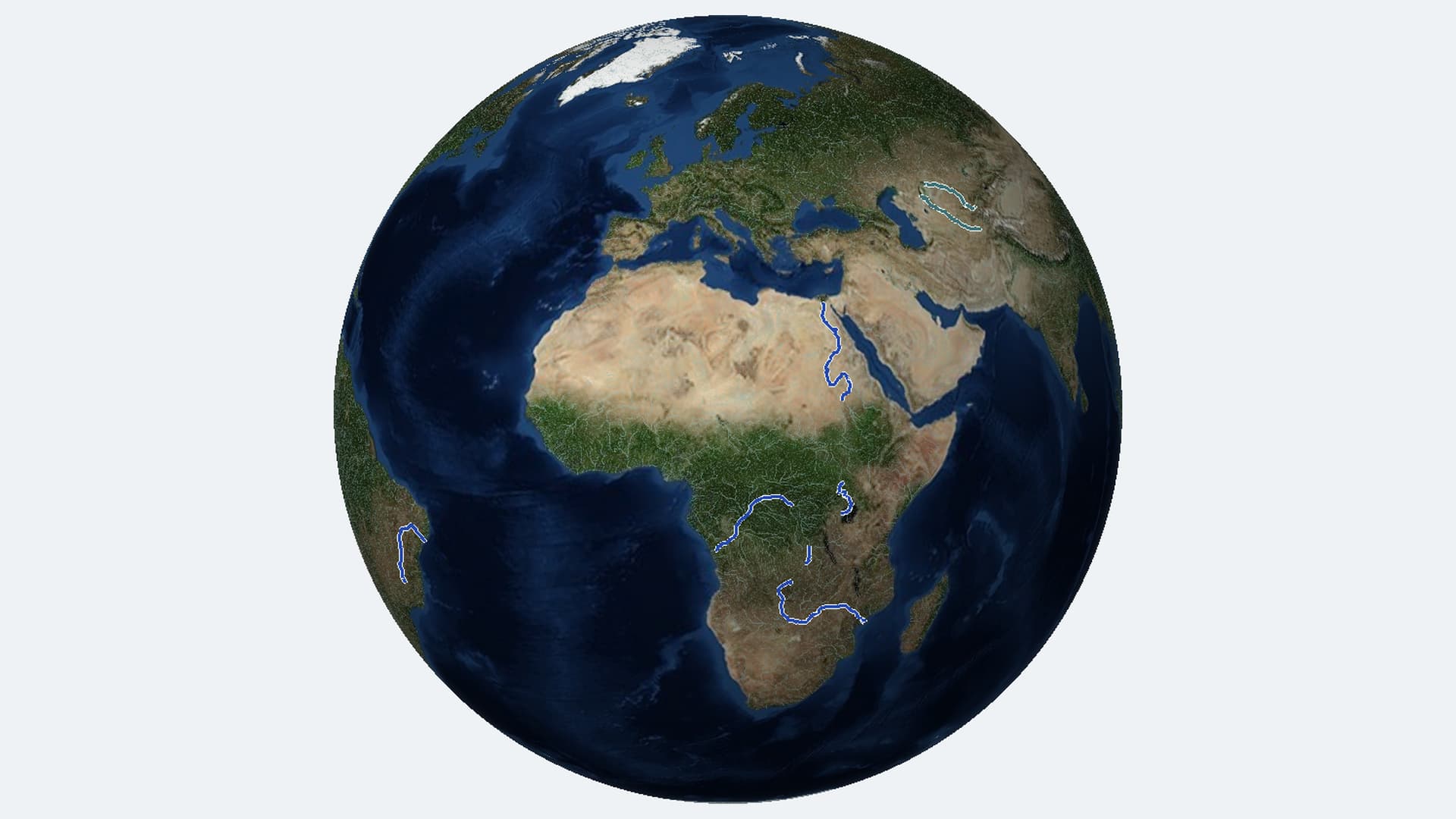
Following the Nile, Congo and Zambezi tributaries reveals what depends on their water: food, electricity and places for wildlife to live.
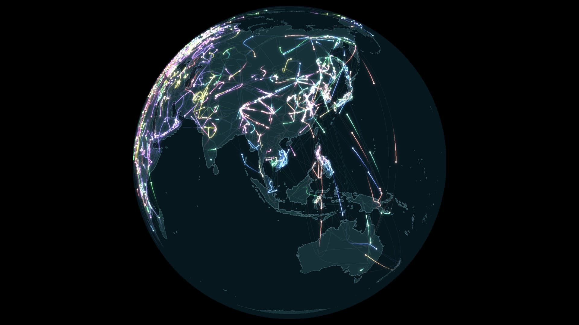
A map of 112 species leads from movement across the planet to the places that make each journey possible.
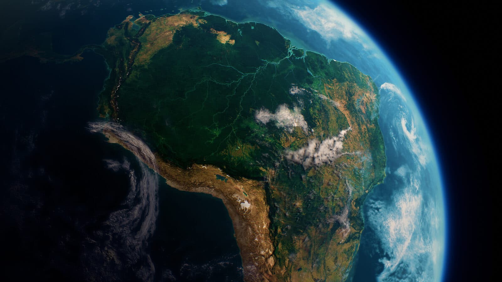
If the Earth is commonly known as 'The Blue Planet,' its accent colour must undoubtedly be 'Green Forest.' Forests cover almost one-third of all land globally — but their distribution and health is far from even.
Updates from SORAH, a few times a month.